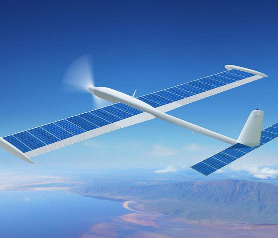
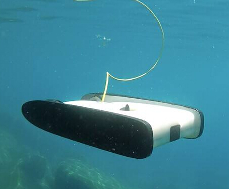
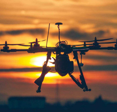
With the development of digital imaging and platform technology, UAVs are becoming more and more widely used in new energy design.

UAV currently in the design of new energy applications include:
1, the formation of topographic maps by drone aerial photography. Large UAV devices can measure a wide range of topographic maps; small UAV devices can complete the topography of a small area.
2, through the drone to complete the outdoor site reconnaissance work.
But in the future, it can do better!

Construction design phase, you can use the model completed by the UAV design, the output of electronic three-dimensional results. Through a shared platform, field builders can visualize design results and interact with designers.
The completion of the design phase of the drawing can be based on the UAV will be the actual situation of the scene feedback to the designer by the designer to complete the electronic changes and remarks, and attach real scene photos for archiving.
Drone equipment can make the design easier and easier, but can not replace the designer's field research. Some of the key nodes, only the designer personally feel, to make the design work more adapt to the surrounding environment, more humane.


 RCCN WeChat QrCode
 Mobile WebSite